
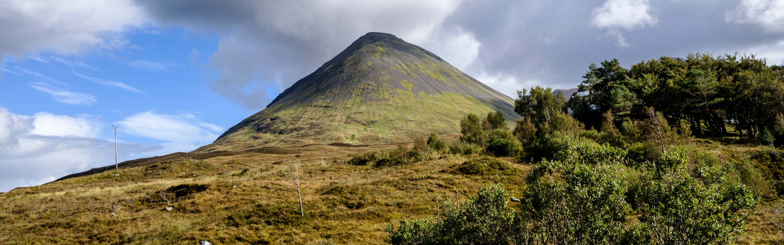
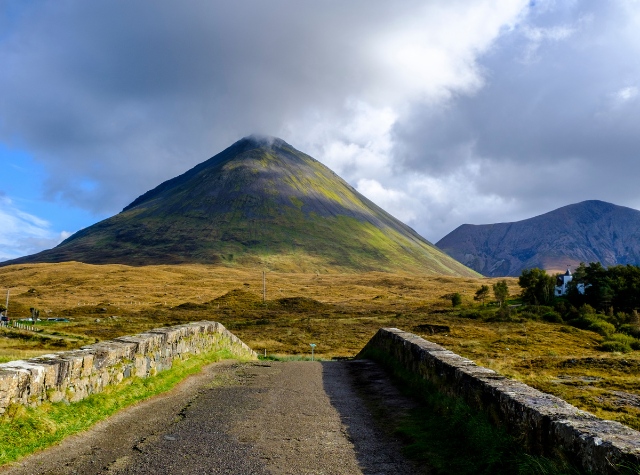
Glamaig From the Old Bridge
Exploring Glamaig: The Iconic Summit of Skye’s Red Hills
Glamaig stands as the northern sentinel of Skye’s Red Hills. Its nearly perfect cone of scree rises 775 meters above Sligachan. Thousands of cameras capture its image each year. From the valley below, it impresses. But reach its summit on a clear day? The panorama unfolds in a way that’s beyond words. This is one of Skye’s most stunning viewpoints.
The ascent from Sligachan appears daunting. It is. Steep slopes of grass and loose stones offer a relentless climb. Every summer, a race defies this mountain. Runners dash up and race back down at incredible speeds. In 1899, Havildar Harkabir Thapa may have started it all. He ran from the Sligachan bridge to the top in 37 minutes and descended in 18. Today’s athletes are only slightly faster. If you’re feeling adventurous, you might attempt this route.
But perhaps you prefer to enjoy the views without such intense effort. There’s good news: an easier path awaits.
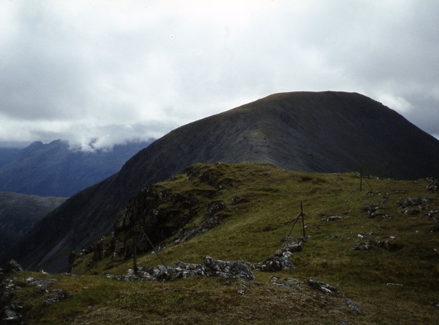 The Summit Ridge From Glamaig – Photo © Colin Park (cc-by-sa/2.0)
Glamaig’s Ridge
Seen from Sligachan, Glamaig appears as a simple cone. But that’s just one angle. The mountain stretches eastward along the south side of Loch Sligachan, with summits at both ends. The higher peak, Sgurr Mhairi (775m), stands to the west. To the east, above Sconser, rises An Coileach (673m). Between these peaks lies a ridge worth walking. It’s broad, with short grass and firm ground. Not at all like the sharp edge it seems from the southern view.
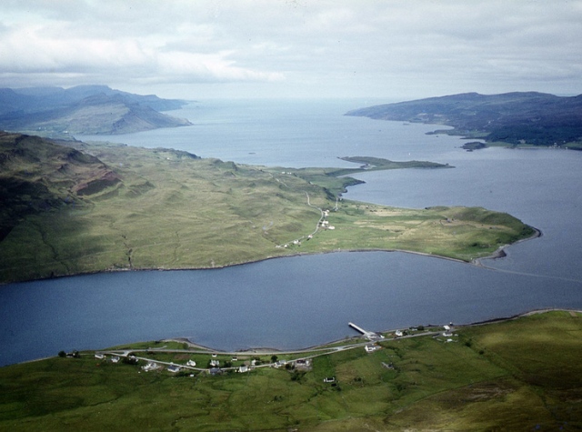 View from An Coileach – Photo © Colin Park(cc-by-sa/2.0)
A Guide to the Easier Ascent Route
Looking for a less demanding route? Begin your ascent from the A87, just south of Sconser. At what.3.words reference – clearcut.refusals.sock a fence leaves the roadside and climbs straight to the ridge. There’s no official path here. Yet, on the initial steep incline, hikers have etched a narrow trail by zig-zagging through the heather on the fence’s left side. Higher up, the remnants of the fence guide you up the center of a scree-filled gully shown in the photo below. This section isn’t hard to navigate, but if you’d prefer, you can easily bypass it by choosing a path around the crags to the right.
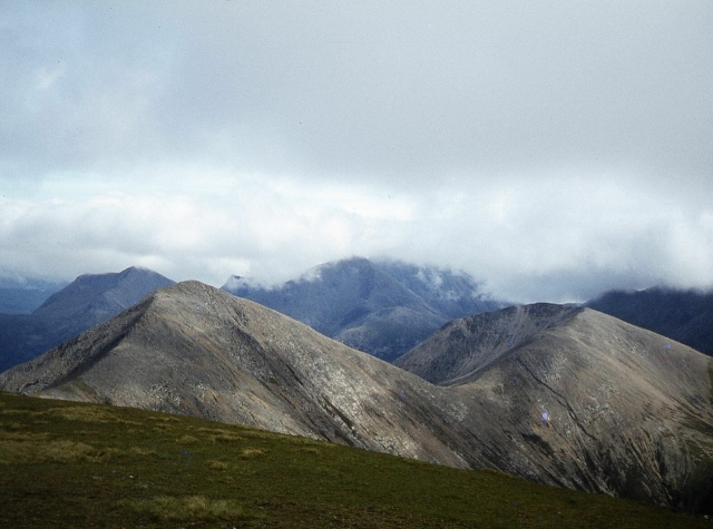 Beinn Dearg Mor and Beinn Dearg Mheadhonach from Glamaig – Photo © Colin Park (cc-by-sa/2.0)
From An Coileach to Sgurr Mhairi:
Before you know it, you’ve reached the summit of An Coileach (The Cockerel). The tough ascent is behind you. The views are impressive. By any standard, they captivate. Look northeast to see the Trotternish coast stretching ahead. Beyond, Raasay extends into the distance. Now begins an enjoyable stroll. About a kilometre along the whaleback ridge. A final, gentle climb of 100 meters awaits. This leads to Sgurr Mhairi (Mary’s Peak). Here, a magnificent panorama unfolds. Glen Sligachan lies below. Sgurr nan Gillean stands proudly and much of the Cuillin range spreads out before you.
Upon reaching the summit, you might feel an urge to descend swiftly and head straight to the Sligachan Hotel. However, it’s worthwhile to linger a bit longer. The path back offers additional scenic wonders that deserve your attention.