
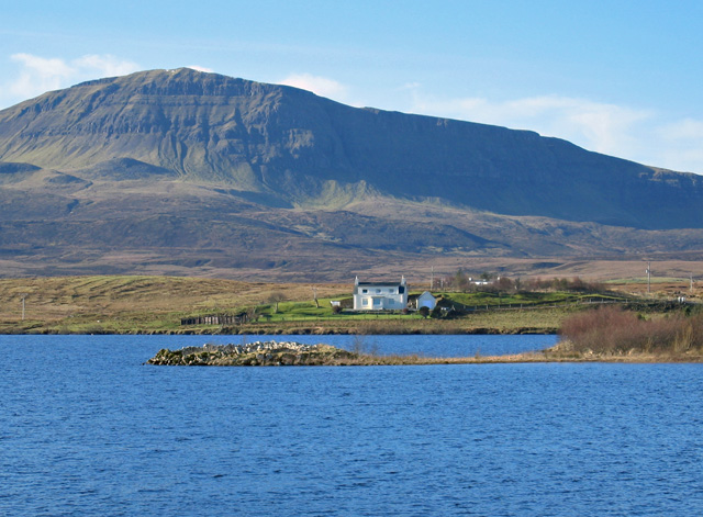
 Dun Grianan © John Allan
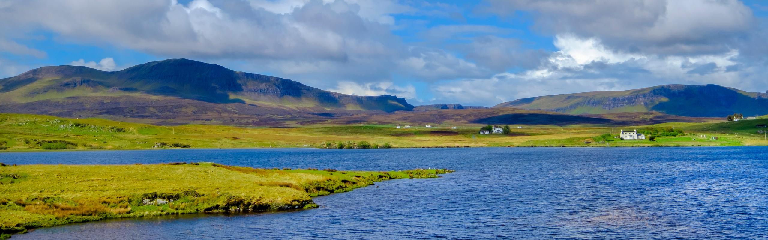
The remains of Dun Grianan sit on a low promontory (///slide.starlight.deform), jutting out into Loch Mealt. The loch surrounds it on three sides. To the east, the famous Kilt Rock waterfall cascades down. Visitors who reach the site see low stones, mostly grass-covered, arranged in a near-circle. What remains of the broch barely rises a metre from the ground. Over centuries, stones were taken from this structure. They became part of nearby sheep pens and other buildings. Now, the broch leaves only its rough circular foundational outline.
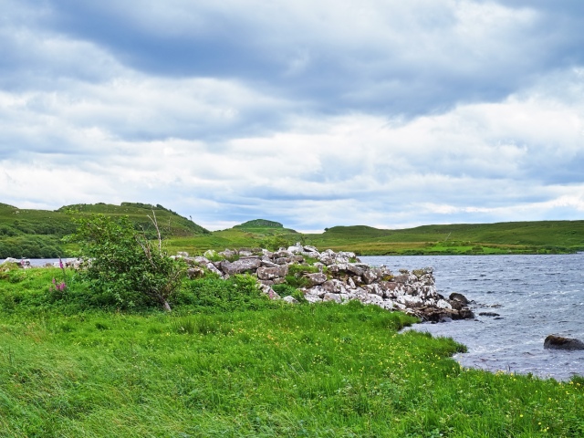
In its time, Dun Grianan would have looked very different. It was a broch, a round, tower-like structure built of stone. Brochs appeared across Iron Age Scotland, especially in the north and west. They were symbols of strength. Their thick, high walls could reach ten feet or more, some sections even thicker. Dun Grianan’s walls once had an inner gallery, a passage running within them. Some of this gallery remains, still traceable in places. A few stones from the original northern wall also remain standing.
To reach Dun Grianan, start at the Staffin Museum or Kilt Rock (though the road crossing can be busy). The ground turns marshy. Trees grow sparsely, their roots in shallow, peaty soil. Soon, a narrow neck of land appears, leading out into Loch Mealt. During wet seasons, water levels rise, and the path can flood. The loch itself encroaches on the southern edge of the broch.
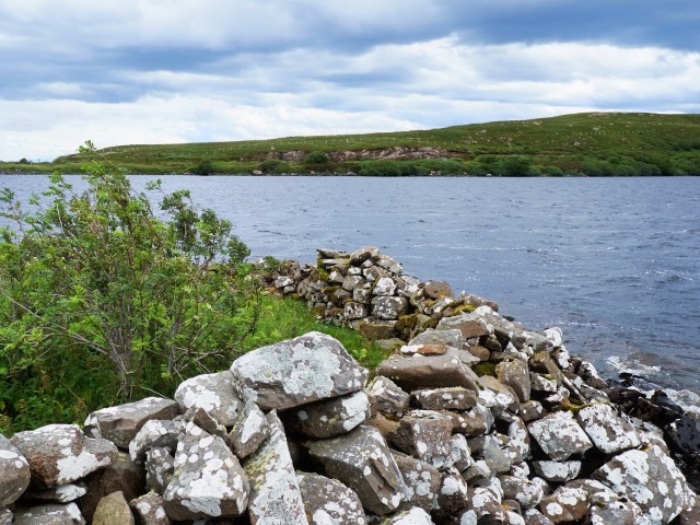
The location served a purpose. Surrounded by water, Dun Grianan would have been easy to defend. Its builders chose their ground carefully. The loch isolates the site, creating a natural boundary. Views from here stretch wide. The land around it opens up, as if bowing to the broch’s position. Though its height has vanished, the site still marks its place on Skye’s history and landscape.